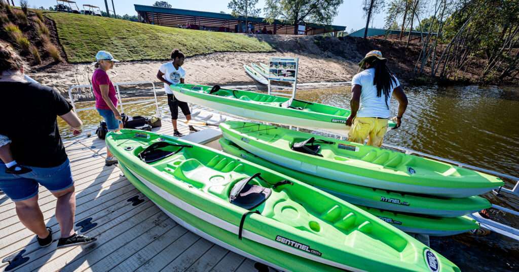
Illinois is known more for the city of Chicago, long flat areas of wheat and corn fields and chilly winters as opposed to whitewater kayaking. But there is whitewater in the state for rafting or kayaking. Depending on the time of year and the water flow, paddling class II through IV rapids is possible. Before heading into the water, make sure to wear a life jacket, helmet and have a river paddling partner with you.
Bear Creek, Class II
Kayak the Bear Creek outside of Quincy, from the CR 900E to Highway 96 for a total of 4.5 miles of rapids. This is a section of river for beginner and low-level paddlers just getting started or learning the sport. The river here flows at an average of 16 feet per minute. There are several campgrounds near this section of river for making long weekends of paddling and camping. Take Highway 96 to Marcelline and look for a pull off. For GPS users, the put-in coordinates are latitude: 40.143 and longitude: -91.3372, and the take-out coordinates are latitude: 40.13712 and longitude: -91.36436.
Piney Branch River, Class II to IV
The Piney Branch River in Jackson and Randolph counties offers rapids between class II and IV, depending on run-off and river flow. Drive from Carbondale for 45 minutes to arrive at the put-in. Take CR 3 and drive toward Degognia. Look for pull-outs and other boaters. This section of the river is two miles long, so plan on portaging or shuttling for multiple runs along here. The Piney Branch flows at an average of 48 feet per minute. Hotels and campgrounds are 20 to 30 minutes from the river. Put-in coordinates are latitude: 37.89429, longitude: -89.6244, and take-out coordinates are latitude: 37.9006, longitude: -89.65111.
Vermilion River, Class II to III
The Vermilion River, LaSalle County section, offers over seven miles of class II to III rapids. Drive northwest off Highway 178 to Oglesby Cutoff. The average flow through here is only 7 feet per minute, but the topography is such that the water generates rapids for paddling. Put in coordinates are latitude: 41.25434, longitude: -89.01337, and there are several locations convenient for take-outs. Do not limit yourself to just one. Plan on shuttling and portaging to get multiple runs in during the day. Ottawa-Streator is the nearest city of size. Campgrounds and hotels are found around the community, 45 minutes away from this section of river.

